The weather improved enough (temporarily as it turned out. Today the temperatures were back in the 30sF with showers and rain to bome) that I was able to take Harley for a walk in the woods. We went along a trail I’d never encountered before. It’s called the Catfish Loop Trail and its in nearby Fahnestock State Park. The NY/NJ Trail Conference site describes it as follows:
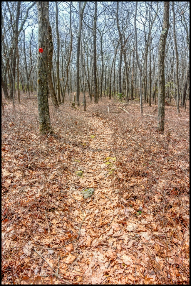
On the west side of Dennytown Road, just south of the parking area, you will see a sign for the Catfish Loop Trail. Head west into the woods on the white-blazed Appalachian Trail. In a short distance, you’ll reach an intersection with the red-blazed Catfish Loop Trail. Turn left to follow the Catfish Loop Trail in the clockwise direction.
The Catfish Loop Trail immediately crosses a stone wall. You’ll observe many stone walls – which indicate that the area was once used for agricultural purposes – along the hike. In a quarter mile, the trail turns sharply right and crosses a stream. After crossing another stream, the trail begins a steady climb. At the crest of the rise, it passes through a mountain laurel thicket. The trail then descends to cross yet another stream, and it follows the park boundary (marked by “posted” signs to the left of the trail) for some distance. Soon, it reaches the highest point on this section of the ridge, which is marked by a cairn.
After a relatively level stretch, the Catfish Loop Trail crosses the white-blazed A.T. (this junction is also marked by a cairn). The trail now proceeds through mountain laurel thickets and soon begins a steady descent to cross a woods road (blazed yellow as a horse trail). It continues to descend and, in a short distance, crosses a stream on rocks.
The trail now climbs gradually to the most interesting point on the hike, where it goes through a narrow Catfish Loop Trail going through narrow rock passage between large lichen-covered boulders. From the top of the boulders, there is a panoramic west-facing view, with Crows Nest and Storm King Mountains visible on the west side of the Hudson River. You’ve now hiked for about two miles, and this attractive spot Is a good place to take a break.
Continue ahead on the Catfish Loop Trail, which descends through mountain laurel, climbs a rock outcrop, then descends steeply. The trail crosses several more rock outcrops and passes through dense mountain laurel thickets. After going by a cliff to the left, the trail bends sharply to the right and begins to head north on a relatively level footpath through mountain laurel.
After crossing a small stream, the trail climbs to a ridge overlooking a valley to the left. It descends a little to cross a wider stream, then goes through a gap in a stone wall and climbs again to a rock outcrop that overlooks the valley. You’ll notice an abundance of rock walls near the trail in this area, and it is hard to believe that this land that appears so inhospitable to settlement was once devoted to agricultural pursuits. In leaf-off season, there are several limited west-facing viewpoints along this section of the trail, with the West Hudson Highlands visible in the distance.
Soon, the trail begins to parallel a stone wall on the left, which marks the park boundary (note the “posted” signs on the opposite side of the wall). After a while, the blazes bear right, away from the wall. A short distance beyond, the trail crosses a stream and continues through dense mountain laurel thickets. It climbs gradually to a rock outcrop from which Duck Pond is visible through the trees to the left. Just north of this outcrop, the trail makes a very sharp bend and nearly doubles back on itself, heading south and then east. Soon, it reaches a large rock outcrop with a view of the valley below to the left.
From the outcrop, the Catfish Loop Trail descends steeply to the valley below, where it crosses a wide stream on rocks. After going over a minor rise, the trail begins a steep, steady climb of about 150 vertical feet. Upon reaching the crest of the ridge, the trail goes down a little, regains the lost altitude and levels off, heading north along the west side of the ridge.
After bending to the right, the Catfish Loop Trail crosses a yellow-blazed woods road – the same horse trail that you crossed earlier in the hike. The trail now climbs briefly to a rock outcrop, descends steadily through the woods, and climbs once more to reach a junction with the white-blazed Appalachian Trail – completing the loop. Follow the Appalachian Trail uphill to Dennytown Road and the parking area where the hike began.
I believe that we went around the loop in the opposite direction. The entire loop is close to five miles. When we started I didn’t know that. Moreover I’d forgotten my phone and had no way of checking. So we walked for about 45 minutes and then turned around and walked back. So it seems that we never got to the most interesting part as mentioned in the description above (see paragraph 4 above).
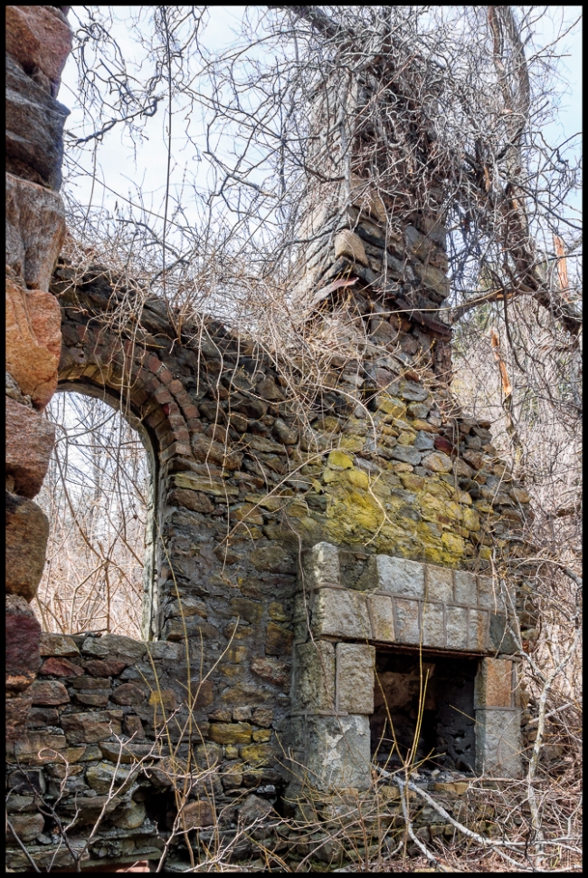
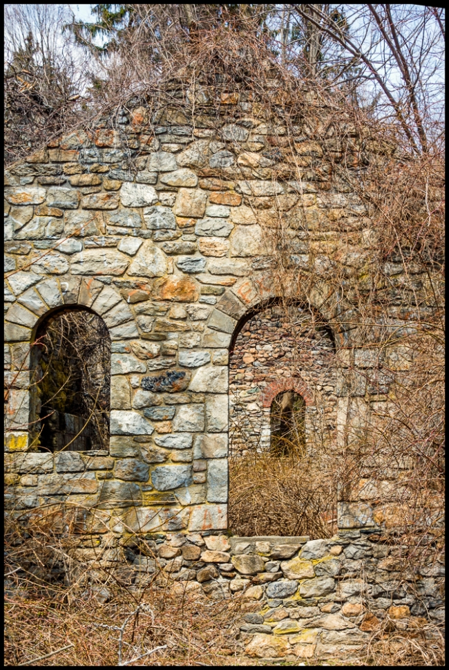
There was an interesting ruin (see above and below) right at the beginning of the trail.
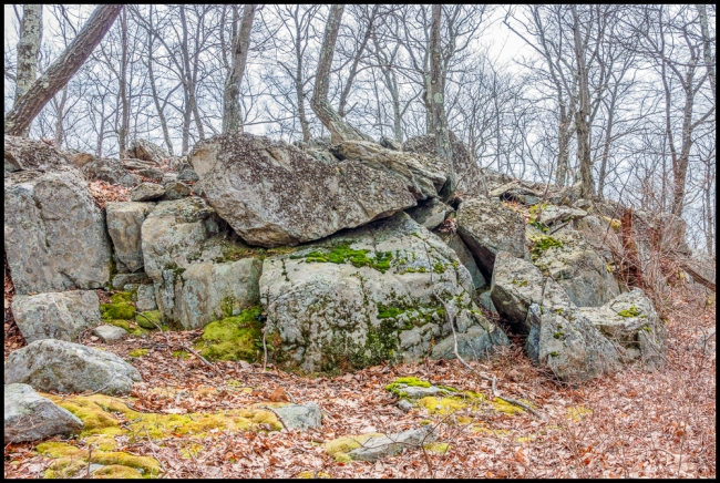
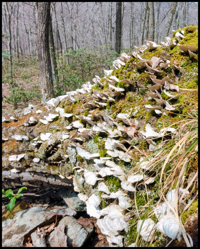
But apart from that the part that we covered was just the usual boulders, rock formations, trees, fungi etc.
The weather was quite warm (mid 70sF) and because the trees were not in leaf there was little to no shade. I was glad when we got back to the parking area and happy that we hadn’t tried to complete the full five miles, for which we were woefully ill prepared.
Taken with a Sony RX-100 M3.

